
Charlotte Neighbors Through Parcel Records
Neighbors are best researched as nearby parcels and civic context. Start with a target address or PIN, then use the county map to identify the surrounding polygons. Tax and deed records can add owner, mailing, billing, legal-description, plat, and transfer context. Each source answers a narrow question. A parcel owner may be an LLC, trust, estate, lender, or a person receiving mail elsewhere. That record does not create a household roster, establish occupancy, or describe a relationship among people on the block.
| Source | Block information | Access and limit |
|---|---|---|
| POLARIS parcel map | Adjacent polygons, PINs, situs, owner and mailing fields, legal description, and overlays | Free map. Confirm each parcel record, not a visual guess. |
| Tax and CAMA records | Billing, value, owner context, and parcel comparison | Search by parcel, owner, or street. It is not a named block list. |
| Register of Deeds plats and deeds | Lot, block, legal-description, easement, and ownership-chain context | Read recorded images and party roles in the correct index. |
| NCSBE voter lookup | Public registration status, precinct, and district fields | One-voter lookup with protected fields excluded. |
| Neighborhood organizations | Public civic contacts, self-defined boundaries, type, map, and approximate homes | Community context only, never a member roster. |
| City or county request | Existing bounded parcel, permit, code, or civic records | Agencies need not create a new compilation. |
Use the street, unit, and PIN together when an address is ambiguous. For a full named-street record chain, the Charlotte street directory follows the address route in more depth. The immediate-block method stays smaller: confirm the target parcel, inspect its actual touching or nearby parcels, and label every field by source and date.
Map Charlotte Neighbors in POLARIS
POLARIS accepts an address, parcel, owner, or landmark in its main search and offers a Situs Address Search as well. After locating the target, use Identify to make sure the selected polygon is the right parcel. Only then inspect the visible polygons and nearby PINs. Layers, Overlays, and the map scale help distinguish the same block from merely close parcels across a road, buffer, or other boundary. The map also links parcel context such as zoning, floodplain, voting, schools, and services, but those overlays should not be used to infer a household.
- Enter the target address or PIN in POLARIS and confirm the situs address, parcel, and map location with Identify.
- Use the scale and parcel outlines to select only adjoining or clearly nearby parcels, then note each PIN and map relationship.
- Open each parcel record separately and keep owner, mailing, situs, and legal-description roles distinct.
- Use tax records, plats, and recorded deeds to test a specific ownership or lot-continuity question, while preserving the record date.
GIS records can lag an instrument recorded with the Register of Deeds. County research records processing windows that can vary by transaction, so a deed and map field should be treated as separate dates rather than a contradiction by default.
- PIN
- A parcel identification number used to distinguish a mapped tract from a similar street address.
- Situs address
- The location assigned to the parcel, which can differ from an owner's mailing address.
- Plat
- A recorded map that can show lots, blocks, easements, and boundaries in a subdivision or development.
Separate Charlotte Neighbors From Owners
A parcel record identifies a legal or administrative relationship. It does not show every person at a location. Read owner, mailing address, situs, legal description, and tax fields as separate labels. A mailing address can belong to a remote owner, estate representative, manager, or lender. A property transfer can also appear in the Register of Deeds before a linked GIS field updates. Keep the deed date, parcel record date, and query date together when comparing sources.
Plats and deeds add continuity for one land question, such as whether two lots share a recorded block reference or easement. They do not support a claim that a named owner is a current neighbor. Projects and permits have their own roles too: applicant, professional, contractor, and owner should not be collapsed into one person. This narrow role discipline makes a block record useful without overstating it.
Note: Postal city names and municipal jurisdiction can differ, so verify the GIS jurisdiction before attaching a Charlotte neighborhood label to a nearby address.
Find Charlotte Neighborhood Civic Groups
The Charlotte Neighborhood Organization Directory adds a civic layer to a block search. Its public listings are alphabetical and support Council District 1 through 7 and phrase or keyword filters. A listing can show a primary contact, boundaries, website or social links, organization type, approximate homes, council district, and map. The City does not set those boundaries. Organizations supply and update their own listings, so the detail page is the place to check current contact and boundary information.
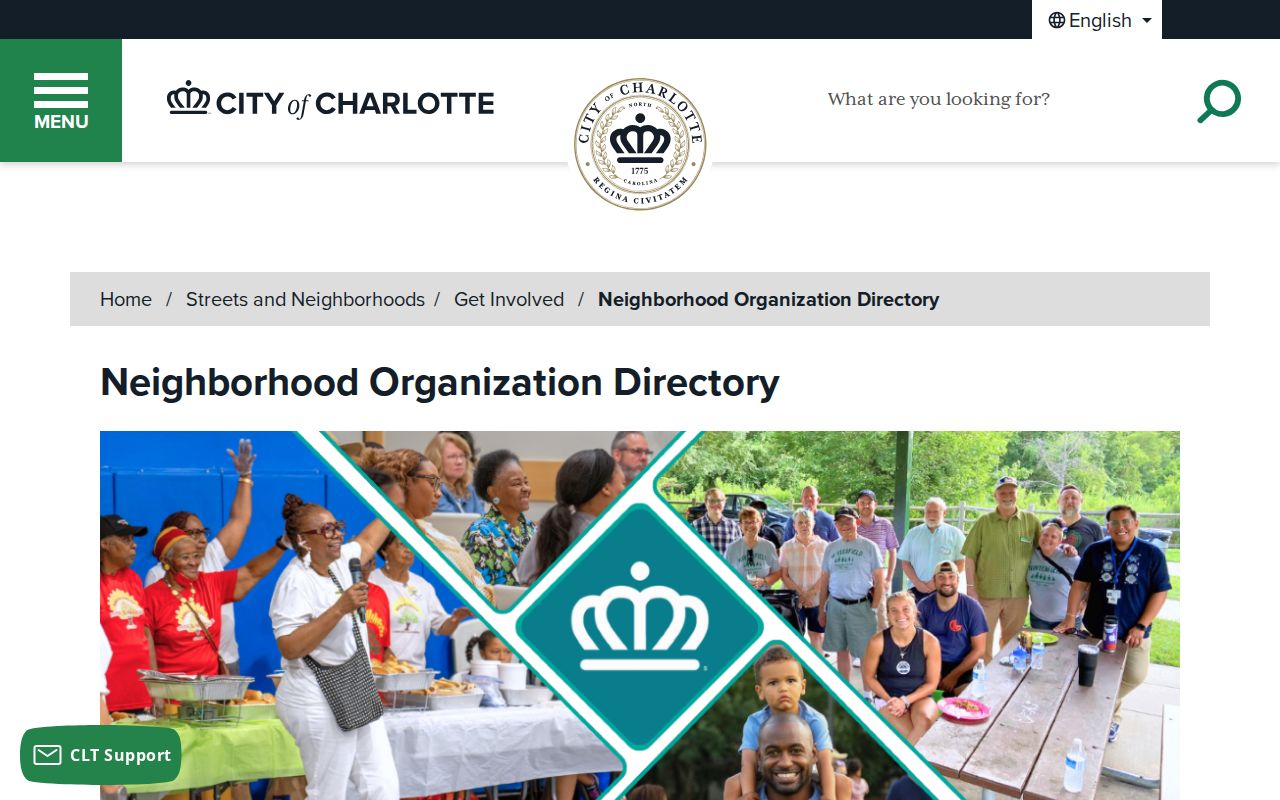
The directory is a practical way to identify a public civic contact or neighborhood map without assuming the organization represents, lists, or speaks for every household.
The CharlotteEAST directory detail identifies a Community Development Corporation in Council District 5 with approximately 9,000 homes. Its number describes the organization's stated reach, not a list of names.
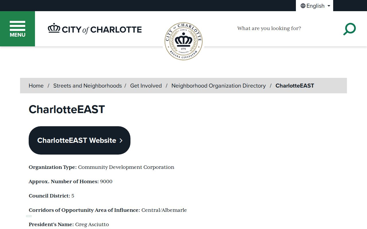
Use the public contact and self-defined boundary as context for a neighborhood question, then confirm parcel facts through county records.
Compare Charlotte Neighborhood Groups
Different organizational types serve different civic functions. A neighborhood association, coalition, community development corporation, and homeowners association are not interchangeable. The city directory supports a narrow comparison of their public descriptions, districts, and approximate reach. It does not verify membership, personal addresses, or a person's participation in any group.
| Organization | Directory context | Use with care |
|---|---|---|
| MoRA / Monroe Road Advocates | Neighborhood Association, District 5, approximately 4,000 homes | Corridor context with self-defined boundaries. |
| SouthPark Association of Neighborhoods | Neighborhood Coalition, District 6, approximately 2,000 homes | Umbrella civic context, not a member list. |
| Dilworth Community Association | Listed in the City directory | Check its live detail for contact and boundary. |
| Greater Enderly Park | Neighborhood Association, District 2, approximately 600 homes | Public contact and map only. |
| Commonwealth Park | Neighborhood Association, District 1, approximately 1,000 homes | Do not turn the figure into addresses. |
| Central Medallion Townhome Owners Association | Homeowners association, District 5, approximately 11 homes | Approximate homes do not identify owners. |
The MoRA detail page provides the organization-specific civic entry.
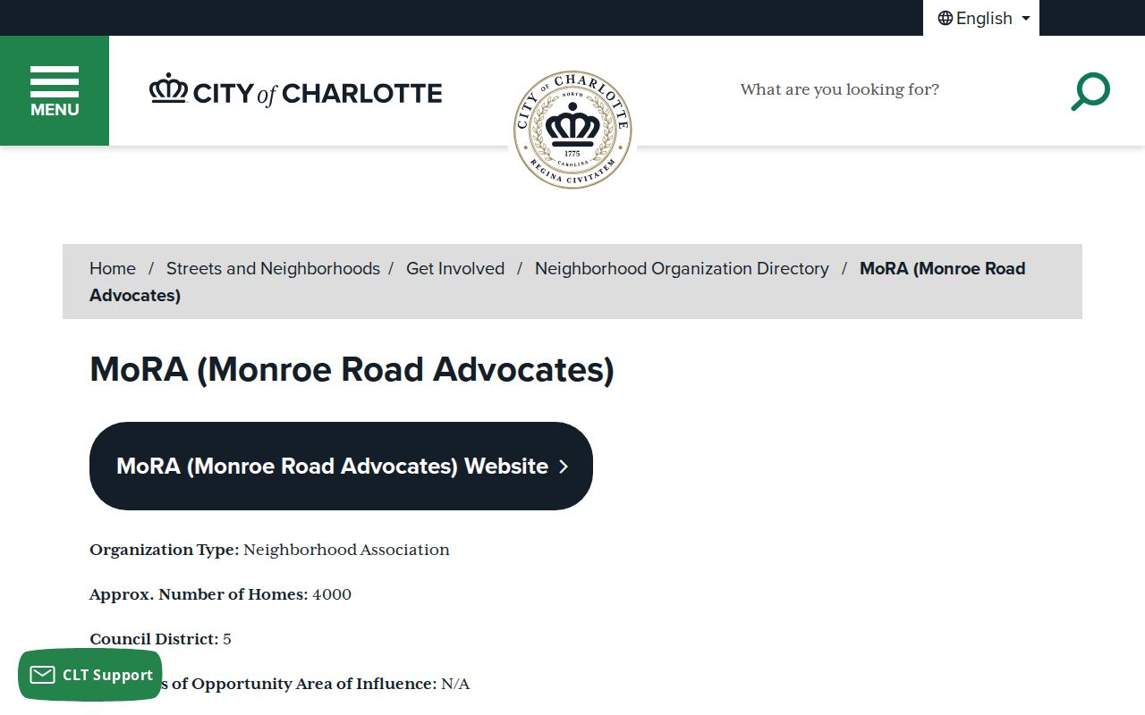
Its District 5 and approximate-home fields are useful only as the directory displays them and may change when the organization updates its entry.
The SouthPark Association of Neighborhoods detail shows the coalition's own public listing.
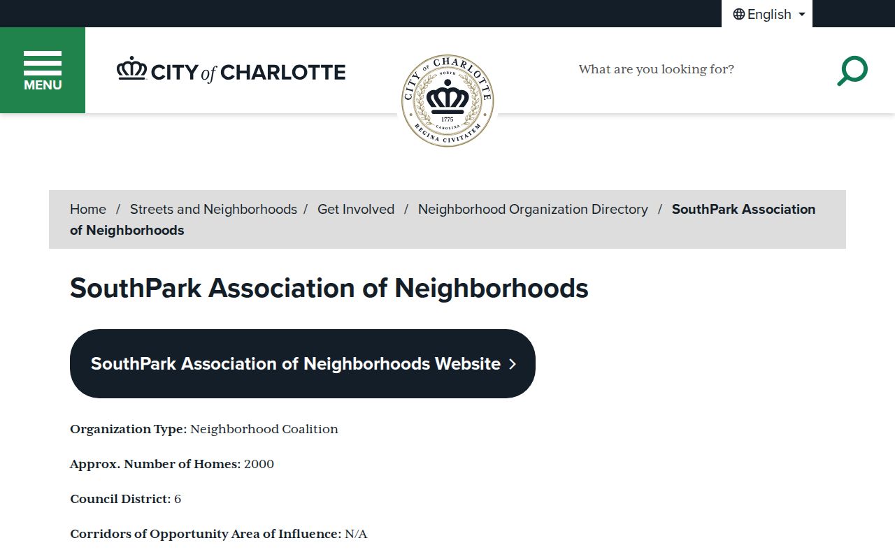
Use that listing to find its published civic context, while keeping a coalition boundary separate from a parcel boundary.
The Dilworth Community Association detail is another city directory route for a current public contact and boundary description.
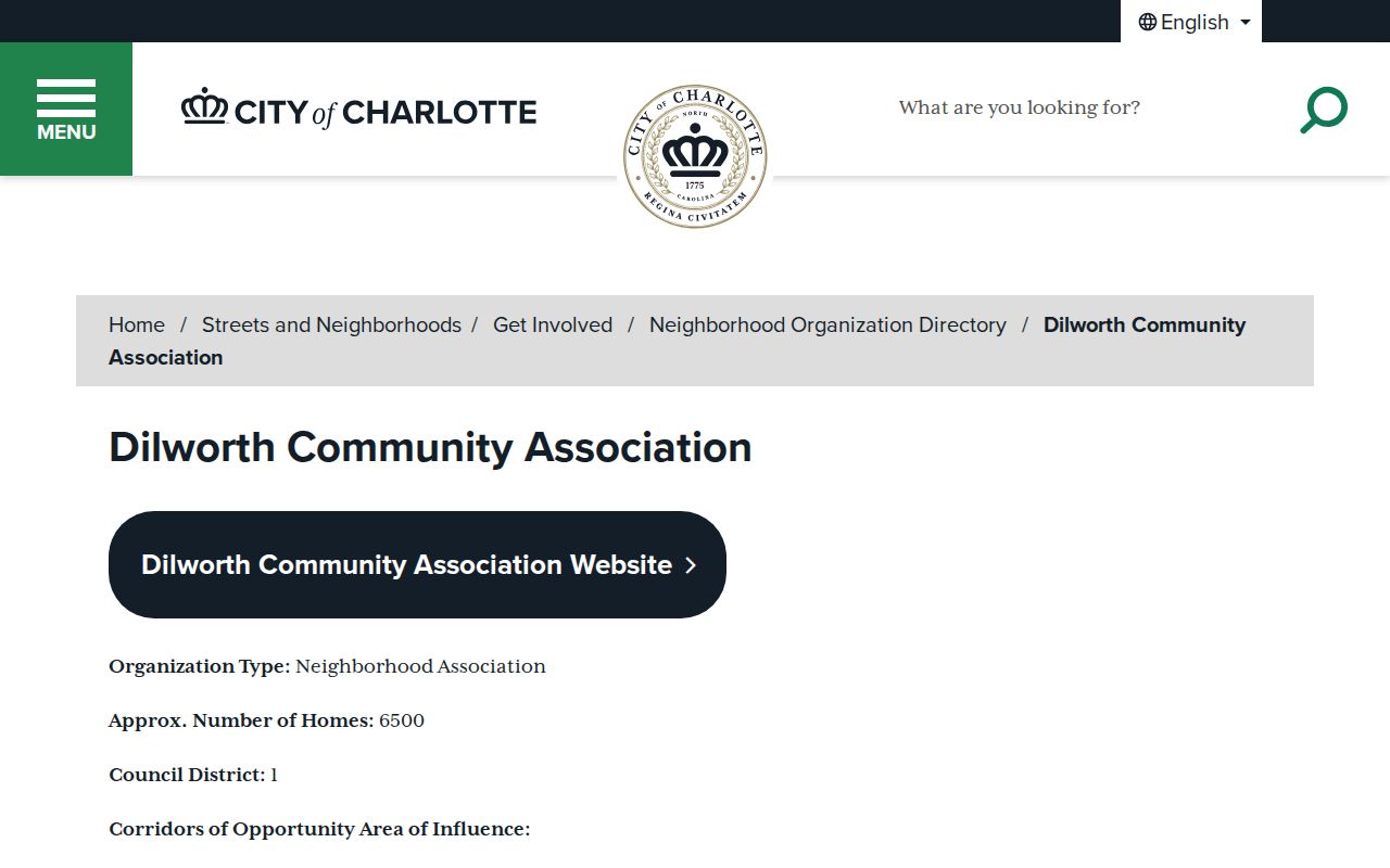
Association information can add history and local context, but the recorded parcel remains the source for a parcel-specific fact.
Request Charlotte Block Records Carefully
When an online search lacks a needed historic permit, code, parcel, or civic record, ask the custodian for an existing item. Mecklenburg County's public-record request portal routes requests by subject, including property, GIS, court, Sheriff, permits, health, CMS, and CMPD. Give the address or PIN, the custodian if known, the specific record type, fields needed, and a bounded date range. A request for a new list of all people around an address is not the same as asking for an existing record.
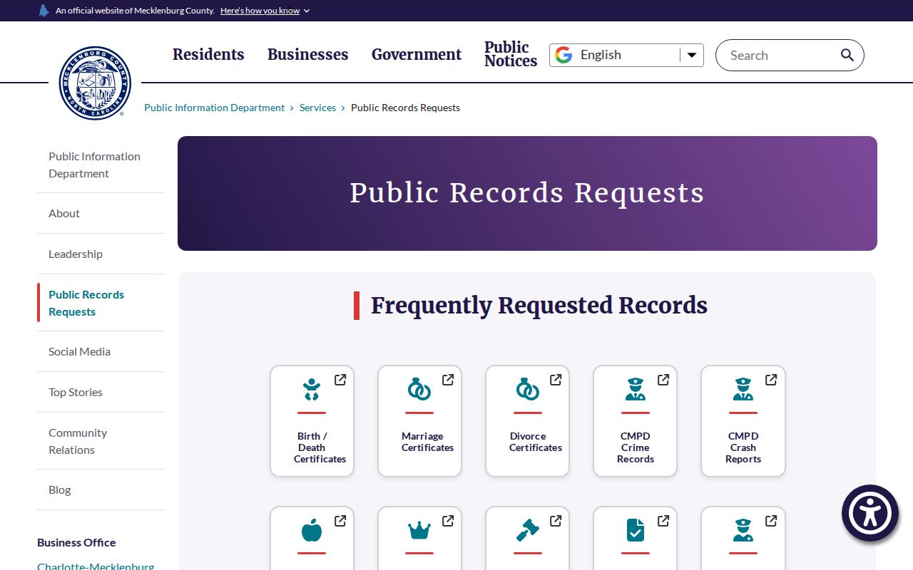
County and city systems hold different material. Charlotte's City Clerk can route civic-record questions, while property, deeds, court files, and voter records belong with their respective custodians.
City requests can be made anonymously, but request metadata may be published. That makes a concise, record-specific request better for both privacy and a useful response.
Keep Charlotte Neighbors Voter Data Narrow
North Carolina makes some voter registration and election-facing fields public, subject to protection rules. The public lookup is for one voter, not an invitation to compile a named block list. Registration status, precinct, and district can describe election geography. They do not show property title, a continuous home presence, membership in a community organization, or a cast ballot choice. Preserve the lookup date because registration files are updated weekly and political boundaries can change.
Do not publish protected voter addresses, full date of birth, Social Security or driver-license information, military or overseas email, signatures, or ballot selections. A precinct change can reflect redistricting, not a move. Keep voter material distinct from parcel records and use it only for the limited election context it displays.
Charlotte Neighbor Lookup Privacy Limits
Official parcel, tax, deed, and civic records have a named custodian, field labels, and a known date. A commercial neighbor-lookup category may be incomplete, stale, or unclear about its source and role. Neither creates permission to publish a household list.
| Official record route | Commercial neighbor-lookup category |
|---|---|
| POLARIS, Tax Administration, Register of Deeds, and City listings identify their custodian and record purpose. | Summaries can combine data without showing when a field changed or what role it actually describes. |
| Use the source date, parcel or case identifier, and correction route provided by the responsible office. | Treat a result only as an unverified lead, then confirm a narrow fact with its official custodian. |
A map record remains a property record, and a civic listing remains a civic listing. The labels should stay that narrow even when several sources mention the same block.
North Carolina's Address Confidentiality Program and General Statute 132-1.1 protect actual participant addresses and phone numbers. Protected voter fields, juvenile material, victim data, alarm records, medical information, and sensitive emergency-response details also require restraint. Chapter 132 allows access to existing records while preserving those limits and redactions.
Lawful use. Use Charlotte neighbors records for personal, lawful parcel and civic research. Do not use a result to watch, stalk, harass, intimidate, or harm another person.
Note: A lack of online data can mean a restricted field, a different custodian, incomplete digitization, or an address variation rather than an absence of records.